PeakX Outdoor Navigation
GPS route discovery, live track recording and offline maps — live on Google Play.
Overview
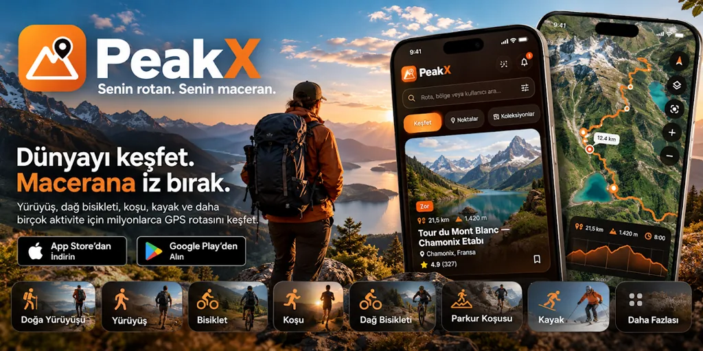
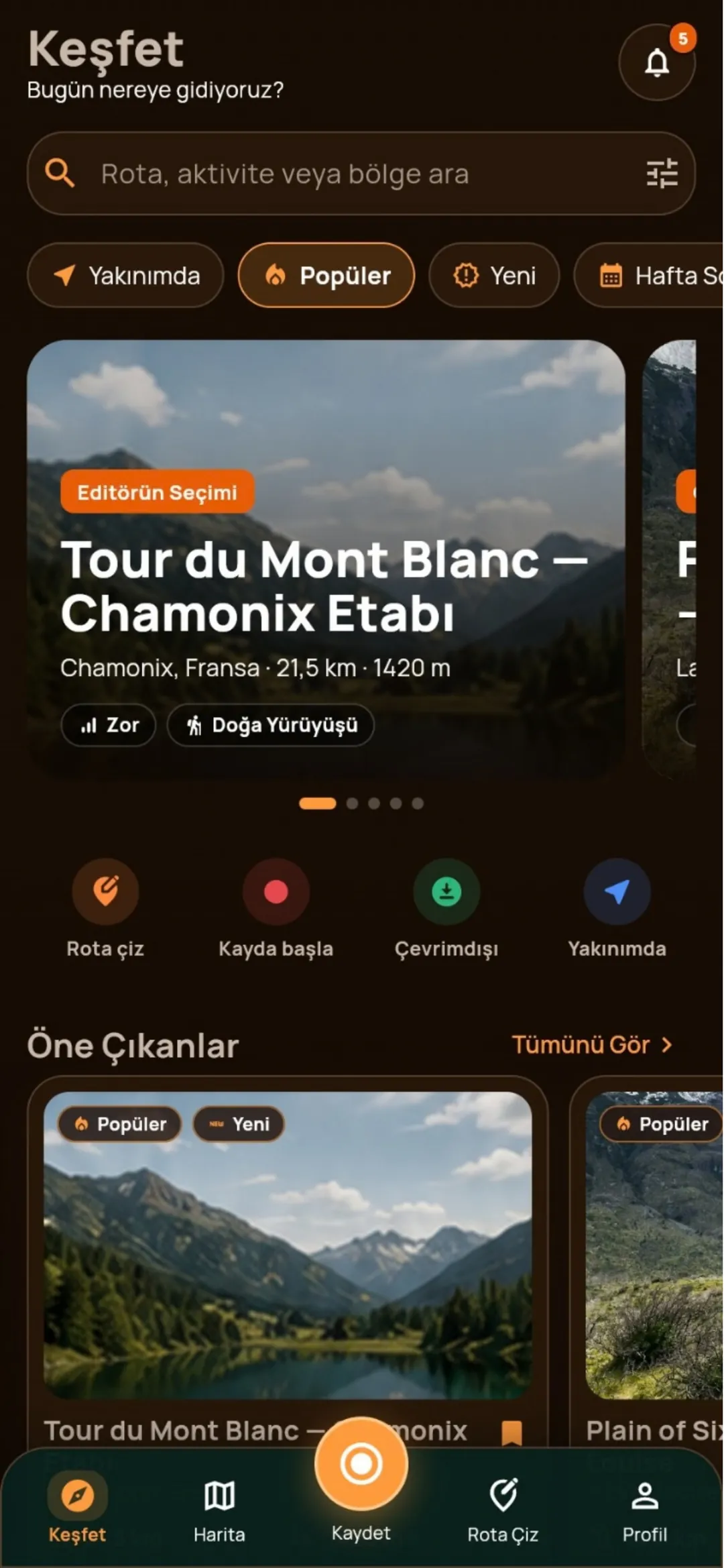
The mobile face of the PeakX Routes platform went live on Google Play in October 2026 as PeakX Outdoor Navigation — Maps. The app brings route discovery, route drawing, GPS track recording and offline map downloads into one interface for hiking, running, cycling, mountain biking, trail running, skiing, climbing, canoeing and many more activities.
The challenge
Shipping a navigation app is not the same as finishing the software. Background location permission, battery optimisation exemption, a precise-location justification, the data safety form and the map data licence attribution each require their own store rationale. On top of that, the user expects the app to keep working the moment they leave the city.
The solution
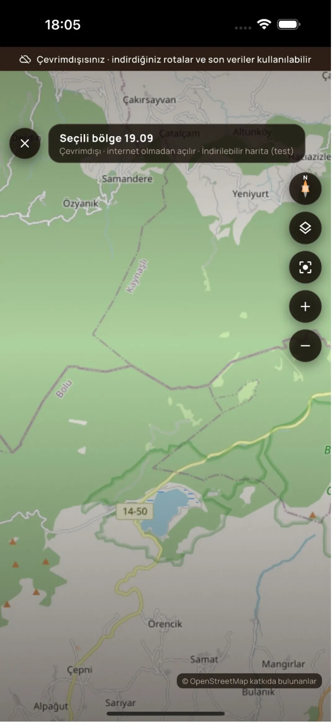
We ask for location permissions in stages: the app first takes location only while in use, and continuous track recording starts when the user begins an activity, with the reason shown on screen. Map tiles and route data are downloaded region by region, so offline use takes a reasonable amount of space on the device. The Google Play data safety declaration was designed so that no data is shared with third parties, and the OpenStreetMap ODbL attribution is preserved in the interface.
Results
- Live on Google Play (com.peakx.application)
- Permission and data safety declarations approved on first review
- Downloadable offline map regions
- GPX import and export for external device compatibility
- A community feed for sharing routes and photos
Layers

Shall we turn your idea
into a real product?
Let's write the scope together and give you a day-by-day schedule. The first call is free; we reply within one business day.
Written scope · Fixed price · You own the source code